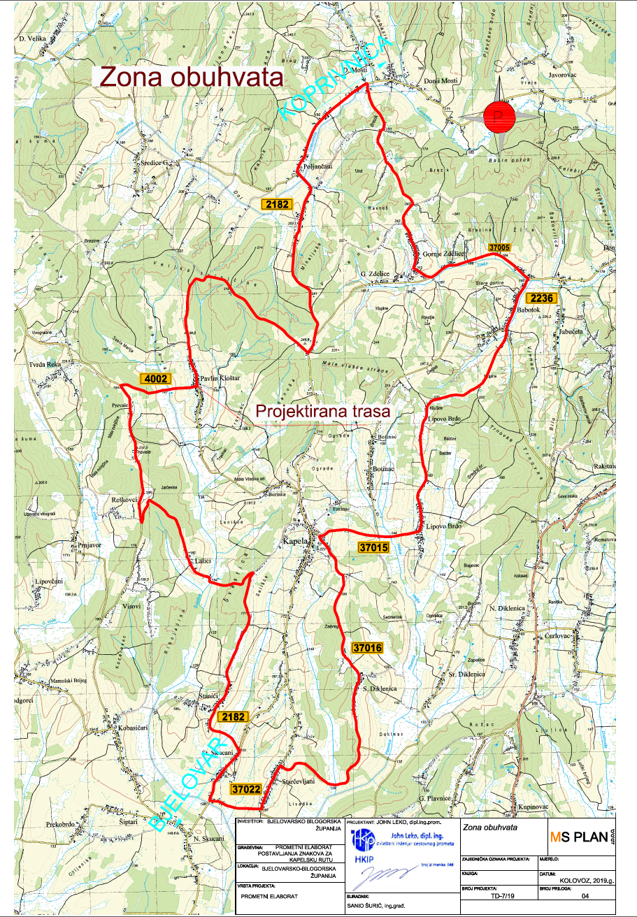
It is 36.8 km long, of which 30.8 km is asphalt and 6 km is macadam.
The route passes through low-traffic roads through the villages: Kapela, Babotok, Gornje Zdjelice, Poljančani, Pavlin Kloštar, Stanići and ends in Kapela.
The lowest point is at 127 m, and the highest at 243 m above sea level, which means that the altitude difference is 116 m.
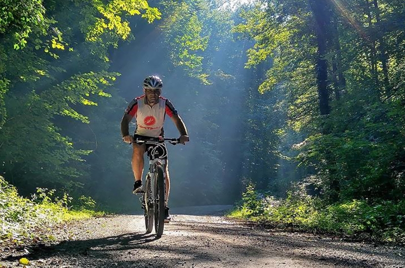
There are also rest areas on the route, which consist of a bench, a table, an information board, a canopy, a trash can and a bicycle stand.